Day 20. Friday, 17/06/2011: Altnaharra to JoG
Actual riding distance 137km. Ascent 1214m. Total distance 2056km. Total ascent 18021m.
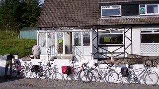 Altnahara B&B
Our final day started fine, dry and a bit cool with mist over the loch. Unfortunately the forcast was predicting showers and southeasterly winds coming later on in the day. It was very pleasant at the start riding along the side of Loch Naver in the sun with no wind and a fairly level road. The surface of the loch was like a mirror.
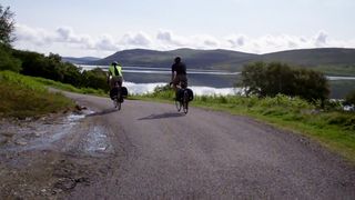 Loch Naver.
As we progressed along he length of the loch, ripples started to appear on the surface: small at first but getting bigger as time went on. By the end of the loch they were quite big but the wind that was causing them was partly behind us so we didn't realise how strong the wind was getting.
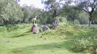 Chambered cairn in Strathnaver.
Strathnaver was occupied by man for many years before the clearances in the 18th century. There are several Neolithic sites here and we stopped at a couple of the marked sites to have a look.
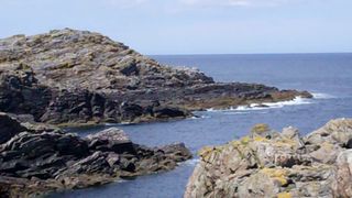
 The north coast at Bettyhill.
The Naver finally meets the north coast at Bettyhill and following the river we also arrived at the coast there. Riding up the hill to the village I spotted a sea eagle hunting over the river. It came quite close but as we were heading in the opposite direction it wasn’t in view for very long.
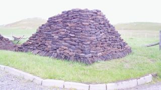 Peat stack at cottage near Strathy point.
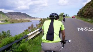
We passed through the village and stopped at the Cafe and Tourist Information centre for our morning break. We arrived at 10:30 to find it didn’t open for another 15 minutes so as it was the last cafe for miles we decided to wait. Leaving the cafe we were faced with the first big climb of the day from just about sea level to 155m. The beginning of this climb was protected from the wind but as we climbed the wind became more noticeable.
 Strathy point.
Neil was keen to visit Strathy point where there is a concentration of
Primula Scotica exists. There were indeed plenty of plants but they were still in bud and the flower stalks had not developed yet. I guess two weeks later would have given us a wonderful display.
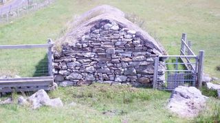 Black house near Strathy point.
On the way out to the point we passed a cottage that had been laying in its fuel for winter in the form of a large peat stack. This stack was at least two metres high. Getting out to the point had been quite easy but getting back was hard work as by that time the wind was blowing quite hard and we were heading into it and it was also uphill.
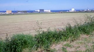 Dounreay site.
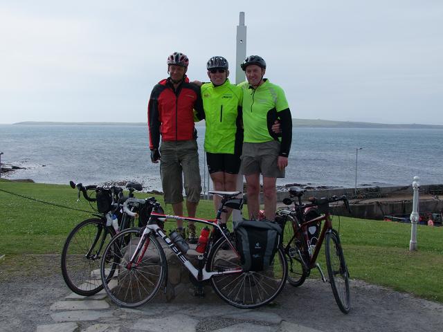
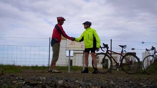
Travelling east was now very hard work against the wind. The terrain was quite flat but there was little if anything to block the wind or slow it down. Deserted cottages made a sorry sight but not as depressing as the state of the the Dounereay site. Dounereay is not far from John o’Groats so it wasn't too long before we were approaching the final turn to head north to the finish. As we were blown down the road together our supporters were lined up, cameras ready, to greet us. We had finished.
 Finish at John o'Groats.
 Second finish at Duncansby Head.
After spending three weeks in the saddle and in our walking boots to get this far it was all over - or nearly so for Neil and I as we were also going to make doubly sure of finishing by riding out to Duncansby head - a better complement to Lands End. After many photos Neil and I removed our panniers and set off for the lighthouse.
 Stacks of Duncansby.
Another reason for going to Duncansby head was to see the
Stacks of Duncansby that I had seen many years ago but Neil had never seen. These sea stacks are very impressive and make a bold contrast to the dereliction around John o'Groats.
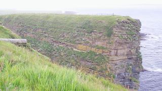 Nesting cliffs at Duncansby head.
This headland is an important nesting site for many species of sea bird that find the ledges formed by the Caithness flags make great locations for their nests. It appeared that most had fledged so there were few birds around. North of the headland there was a ship trying to make headway against the strong tide between the mainland and the Orkney Isles. This can be a wild place when strong winds are blowing in the opposite direction to the flow of the tide.

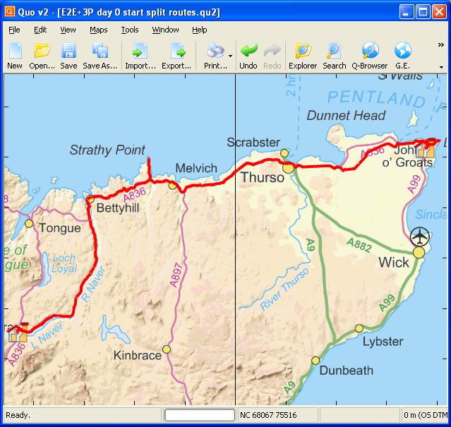 Day 20 track
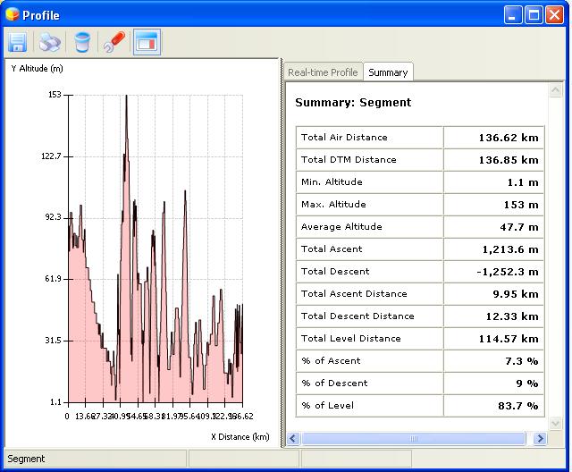 Elevation plot Day 20
