Day 10. Tuesday, 07/06/2011: Cotton Farm to The Fleece
Actual riding distance 145km. Ascent 611m. Total distance 1057km. Total ascent 10811m.
Over half way!
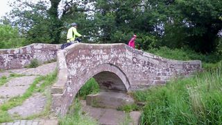 Roman bridge near Cotton Farm.
We set off from Cotton Farm and headed for Tarvin via a series of
three Roman bridges. Our route then meandered along a series of small country lanes, some part of marked NCN routes and others not. There were several major obstacles in front of us; the River Weaver, the Trent and Mersey Canal, the Manchester Ship Canal and the River Mersey. Somehow we followed a cycle track along the A 50 instead of crossing it and that took us a long way west of the intended route and involved a long detour to get to a point where we could cross the Manchester Ship Canal.
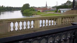 Crossing the Mersey.
Crossing these on minor roads was difficult or impossible and our route was quite circuitous to do so. We had one section on the busy A 57 that was not very pleasant but eventually returned to the side roads again to head north. In Glazebury we found a Victorian tearoom and sweet shop that was selling all sorts of long forgotten sweets from the jar by the quarter pound.
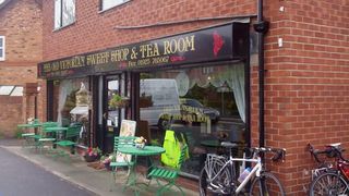 Coffee stop in Glazebury.
They also did rather splendid food as well. Shortly after this, we started to hit metropolitan areas again and our route again wondered about to find the line of least resistance on the quietest roads. Passing through Leigh Neil had a puncture in his back wheel.
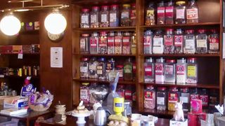 It isn’t just a cafe.
The casing was getting quite marked with small cuts from the various rough surfaced tracks we had followed. We travelled through some quite depressed areas before eventually connected with a cycle track on a disused railway just west of Hindley. This track took us north then north-west to meet up with the Leeds and Liverpool Canal at a fairly spectacular series of locks up the hill.
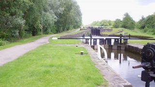 Leeds and Liverpool Canal.
We then had many miles of level tow path to follow on varying qualities of surface. The good bits were really good but the bad bits were quite poor and threatened more punctures for Neil. Near Adlington, the route showed that we should leave the Canal and follow an old railway track for a bit. The path we took led us on to unmade tracks and it was very unclear which way we should go.
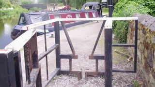 Barriers to get to towpath.
Whilst consulting the GPS and investigating where some of these went the thunder and lightning started and the rain came hammering down. Ron had disappeared along one of the paths and had not returned so Neil and I followed. We had to carry our bikes up a set of steps but at least we got back onto a road again.
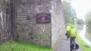 Into Lancashire>
From there we were able to connect back with the Canal again and follow it North. Progress was hampered at regular intervals by barriers at each section to prevent motorbikes from using the towpath. With an unloaded mountain bike these would have been easy but with a loaded touring bike it was quite difficult. South of Preston we picked up a disused railway line track and just before crossing of the River Ribble we caught up with another two End to Enders.
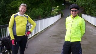 Two more "End to Enders"
Once through Preston, we left the NCN route and cycled up the A 6 instead to save time. Traffic had died down on this road by then and the easy gradients made for quite rapid progress.
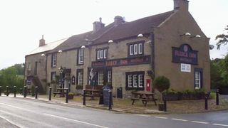 The Fleece.
A fairly short section on country roads took us to The Fleece where the WiFi was working. After a great dinner I took my computer down to the bar and attempted to catch up on the missing daily logs. After closing time I carried on while the staff cleaned up around me.

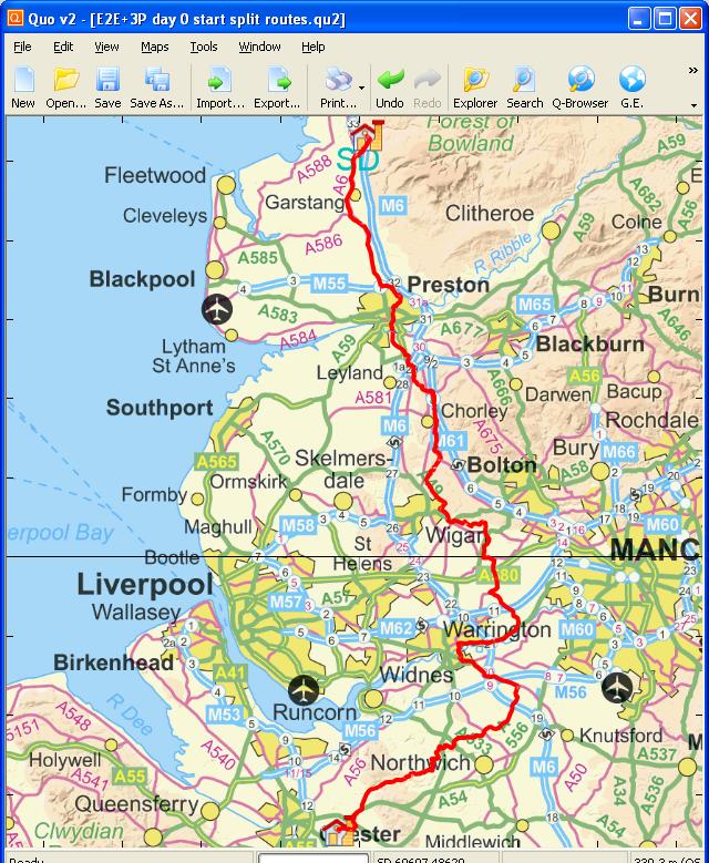 Day 10 track
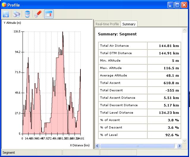 Elevation plot Day 10
