Contents

Why do it?

Charities supported

Daily log

The Riders

Training rides

My Website

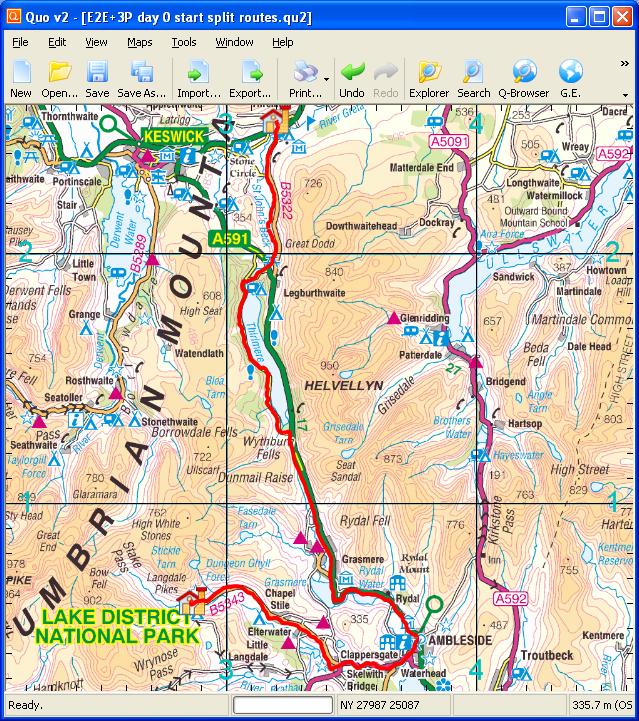
Day 12. Thursday, 09/06/2011: Old Dungeon Ghyll, Langdale to Scafell Pike to Threlkeld

Actual walking distance 19km. Walking ascent 1107m. Total walking distance 31km. Total walking ascent 2125m.

Actual riding distance 39km. Ascent 419m. Total distance 1191km. Total ascent 11961m.

langdale
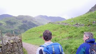
Start of walk to Scafell Pike.
The weather today was a mixture of sunshine and heavy showers. We had a later start than normal because the hotel did not serve breakfast until 8:30 AM.

sheep
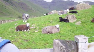
Colourful sheep in Langdale.
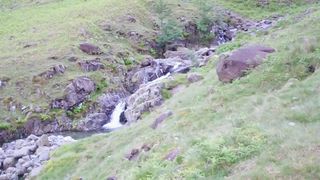
In retrospect what we should have done was have our cereal at 7:30 AM, do the walk, then come back to the hotel for our cooked breakfast for lunch. Hindsight is a wonderful thing.

rossett
Rossett Gill.
We had a very light shower just as we were starting but the skies cleared and the sun shone on and off for most of our climb. When we were just a few hundred metres away from the summit we could see cloud building up around the top of an adjacent, lower peak and very soon the summit of Scafell Pike was shrouded in mist.

langdale
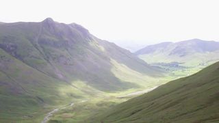
View back down Langdale.
When we arrived on the summit there was little to be seen but soon the mist cleared and we were able to get a reasonable view. We asked another climber to take photos of us on the summit but I think it would be fair to say that he was not a photographer and had certainly never used a video camera before.

shelter
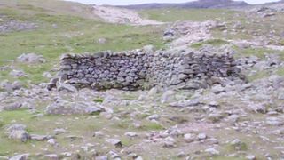
Shelter at Esk Hause.
With lunch consumed and the temperature dropping we beat a gentle retreat down the mountain ever conscious of the heavy rain showers that were tipping down all over the place. We nearly made it back dry but unfortunately we got caught in quite heavy rain with two or 3 km to go. Back at the hotel we had to repack our walking kit in our big bag but could not do so as our rucksacks were soaking wet.

summit
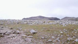
First good view of Scafell Pike.
The hotel had a commercial size tumble dryer that took all of our wet kit and dried it while we had a cup of tea. We finally packed the bag and our panniers and set-off for Threlkeld. The traffic on the narrow roads was just as bad as it had been yesterday with people trying to squeeze past or overtake into the face of oncoming traffic. Our route took us down into Ambleside and then up over the hill before descending towards Threlkeld where we again arrived at a decent time.

summit
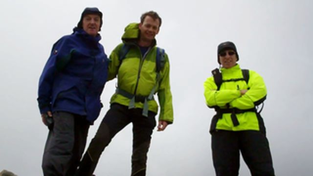
On the summit of Scafell Pike.

rain
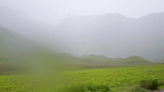
Rain pouring down behind us as we walked out.
stream
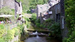
Stream in Ambleside.

house
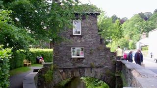
Trying to avoid taxes.
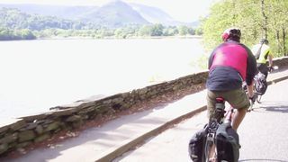
rydal water
Rydal Water.
down
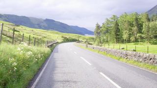
View north from summit of A591.
thirlmere
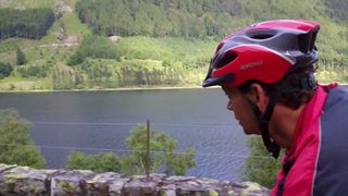
Thirlmere from small road to west.
arch
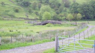
Very flat arch bridge over St Johns Beck.
the hollies
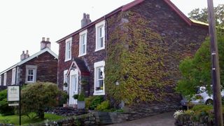
The Hollies, Threlkeld.


spoke


Day 12 map
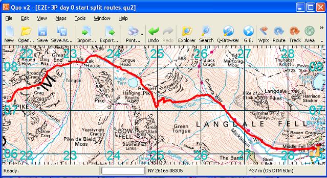
Day 12 walking track

Day 12 elev
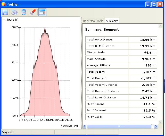
Day 12 walking profile

spoke

Day 12 map
Day 12 cycling track

Day 12 elev
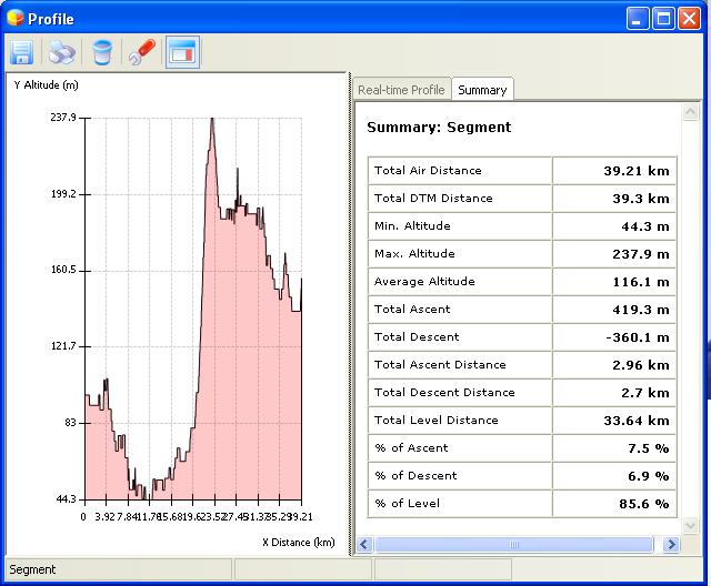
Day 12 cycling profile