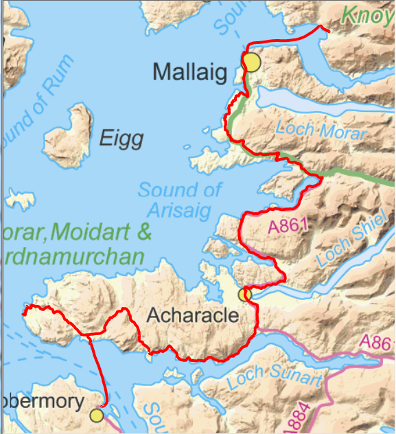
Loch Ailort.
We took the eight o'clock ferry to Mallaig and returned to our B&B of the night before to pick up our belongings and bikes. No sign of the dolphins of the day before but it was quite breezy so the water was choppy making the chance of a sighting much more difficult.
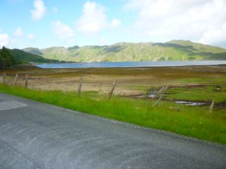
Bridge over River Shiel.
After a quick change and re-pack we were on our way by 9.00. I was expecting this to be our most hilly day per km cycled. It was also against the clock so that we would be able to get the last ferry from Kilchoan to Tobermory. From Mallaig our route took us along the busy main road as far as Morar then along the old road to Arisaig where we rejoined the main road, but on the adjacent cycle track to Lochailort where we turned south along the lochside.
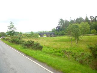
The big climb up into the Ardnamurchan volcano.
The sun was shining but as we were on a northwest coast of the loch and much of it was wooded we were in shadow quite a bit of the time and the air was quite cool. We passed over Shiel Bridge where the River Shiel carries the outflow from Loch Shiel (the one at Glenfinnan) to the sea.
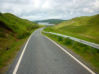
Loch Mudle north of Ben Hiant.
We had lunch at Salen and then after a few miles along the cost the road turns inland and climbs quite hard to 180m to pass to the north of Ben Hiant. It was our intention to have a stop at the Kilchoan Hotel and ask to leave our bags there but as it was a building site we had to do something else. Out of Kilchoan we found a suitable place to hide our bags making it much more pleasureable to cycle out to the lighthouse.
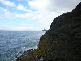
Westernmost point of Scottish (and Great Britain) mainland.
The road is very undulating to say the least so even without the bags it was still hard work. At the point I had identified in April I ditched the bike and headed off cross country to the westernmost point while Neil went on to the lighthouse for refreshments. The recent wet weather had made the going much more messy as what had been dry ground in April was now mostly bog.
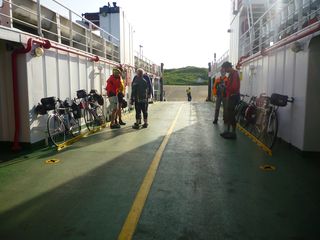
Just six bikes on last ferry.
I found my way down the steep rocks and perched myself as far west as I dared to take a picture of the lighthouse around the headland. Another target achieved. The journey back to the ferry was fine with a bit of tailwind. We picked up our bags from their hiding place and arrived at the ferry with a good time margin. It was not a busy ferry as there were only six bikes and riders and two other foot passengers. The amount of climbing today, mostly in quite steep sections done against the clock made this a very tiring day.