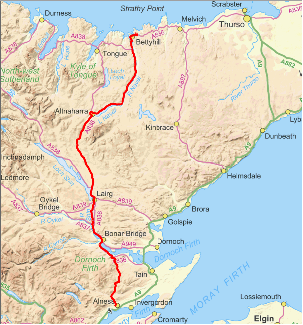
Day 5. 4/6/2014. Cycle Alness to Bettyhill. Distance cycled 122.2km. Ascent 1053m. Cumulative distance cycled 596.0km. Cumulative ascent 4694m.
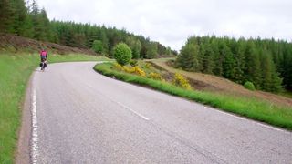
Climbing the Struie again.
We had travelled almost all of this day's route on our LEJOG trip three years ago so it was familiar territory. We started quite brutally with a climb to get over the Struie towards Bonar Bridge. There is a fair amount of climbing but none too steep. The first 12km had almost exactly the same amount of climb as I do in the same distance on my way home from work but it was a lot harder with a loaded bike. As height is gained there are now good views out to the Dornoch Firth to the east as trees close to the road have been felled.
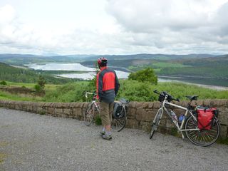
View up the Dornoch Firth towards Bonar Bridge.
We stopped at the view point looking north over the narrowing Dornoch Firth where we were informed by a regular visitor to the area that the visitor centre at the Falls of Shin had burnt down a while ago so that changed our lunch plans. Coming into Ardgay there was a new cafe and shop so we stopped at. That was lucky as the shop that we had stopped at on LEJOG and could have stopped at again was empty and up for sale. We opted to cross Bonar Bridge and cycle up the A386 for a bit to avoid having to manhandle our bikes at the railway bridge at Invershin.
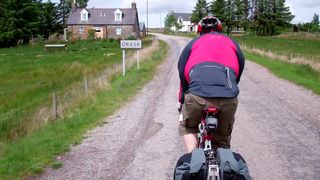
Approaching Crask Inn. The only place for sustenance in a long way.
We turned off onto the A837 before following the road up beside the Falls of Shin. Our informant was right about the visitor centre as all that was left was the concrete slab of the building. At Lairg we then decided to press on to the Crask Inn for lunch where we enjoyed Oxtail soup and Venison sandwiches washed down by a pint and followed by tea with a bun. What more could a cyclist ask for? From the summit above Crask it's mostly downhill to Altnaharra where we turned right along the shore of Loch Naver.
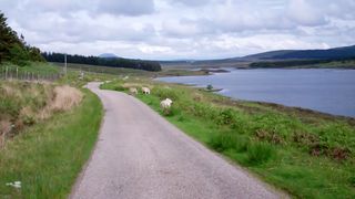
Loch Naver.
We stopped to eat some of the food we were carrying at the east end of Loch Naver to keep us going to Bettyhill. The road along the loch and then the river has more than its share of ups considering the valley is falling all the way to the north coast at Bettyhill. Our B&B was at Farr so there was one final climb to get out of Bettyhill and onto the Farr road. There was also a steep drop down that would make for an interesting start on the next two mornings.

Click map to see full details of this day's ride in Ride With GPS.
