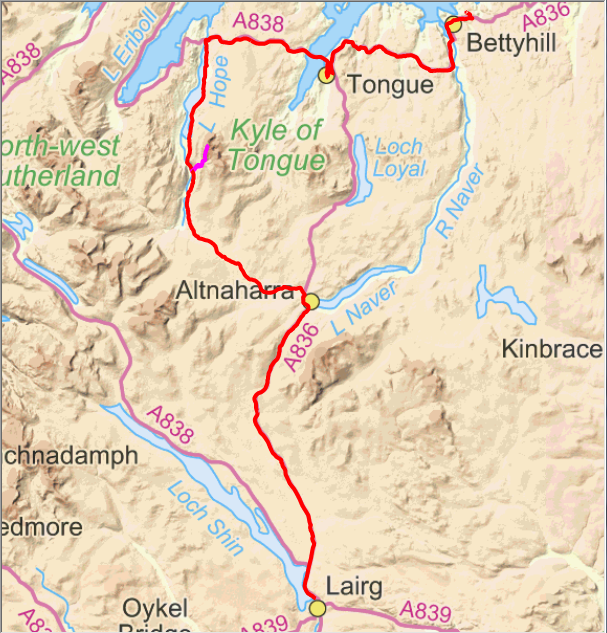
Ben Hope from road before descent to Hope.
A change of direction today as we started the southwards leg of the trip. The day of three parts started wet but this stopped after half an hour or so. The start of the day required us to climb steeply back up to the main road. It was not too bad yesterday but fully loaded was a different matter and having to do it with cold muscles was not so good.
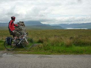
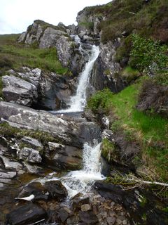
Waterfall beside road alongside Loch Hope.
The first leg to Ben Hope had a lot of ascent with several long and at times steep climbs. There was promise of the weather to clear as the day went on but the higher summits obviously hadn't heard the forecast as they stayed in the clouds all day. At Tongue I realised I had not turned on the app on my phone that transmits our position so that explains the missing section of track. Then we took the wrong road for a bit as it was heading to Altnaharra and Lairg but not via Loch Hope.
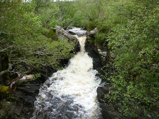
Waterfall beside path.
The descent to Hope was rather fun after all the work to climb the other side. Here we turned south along Loch Hope on a sometimes wet and mossy, narrow, undulating and bendy road. It was a good job we didn't meet any traffic on one of the blind, downhill wet bits!
At the sheep shed at the bottom of the Ben Hope path I exchanged bike for walking poles and after stuffing items such as phone, GPS, camera, drink and food into various pockets in my cycling jacket I set off up the path.
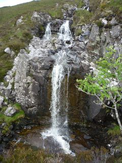
Another waterfall beside path.
Neil went off to Altnaharra to do some work and as, at this stage, we were about half an hour behind schedule I decided to try and get some time back with a quick ascent and descent. There are some very fine waterfalls beside the path that I photographed so that I had at least some momento of the trip. It was a great pity that the top was cloudy as the view to the east, north and west is quite spectacular.
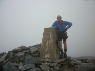
At the summit of Ben Hope.
With no view at the top I stood by the trig point for a moment to have my picture taken then set off back down again. It didn't take long to get back below the clouds and get the southerly view back. Once back down I re-arranged my belongings in their panniers and set off to meet Neil at Altnaharra. Again the climb out of Strath More was quite long and steep and when I picked up a text from Neil to say that he had gone on to Crask Inn that meant yet another long climb before I could stop.
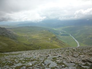
Looking south up Strath More.
A tail wind ensured quite a swift climb to Crask before the short descent to the Inn. My salt and drink deficiency due to the amount I lost in sweat from my various ascents was replenished at Crask before we set off for Lairg. We had light rain for a little while but it didn't amount to much before it stopped. We managed to arrive before my calculated time but we certainly were not hanging about on this section. So that is one week done and half of the eight targets completed. Now it's a contorted and hilly route down along the various peninsulas of the west coast to get to Mallaig.